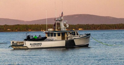
Moses Calouro, the CEO of MotionInfo, a marine tech company based in Orleans, Massachusetts, wants to fully utilize the capabilities of AIS to improve the safety of mariners and protect endangered species. On February 12, a National Oceanic and Atmospheric Administration (NOAA) press release announced the use of MotionInfo’s Station Keeper units to help protect North Atlantic right whales by advising vessels to reduce speed to under 10 knots in seasonal restriction areas.
According to Calouro, the StationKeeper units his company makes are basically transceivers that pick up AIS signals from vessels entering the seasonal zones. “We have the area geofenced,” he says. “If a vessel comes in going over 10 knots, the StationKeeper advises them to slow down, and it keeps sending them a signal until they either reduce speed or exit the area.”
What the vessel sees is a text-like message on its multi-function display (MFD) warning it that federal law requires it to run at 10 knots or less. As the species can weigh between 40,000 and 70,000 pounds, the damage they can cause to boats can be significant, providing the information benefits both the mariner and the marine mammal.
Calouro says. “Right now, we are licensed by the Federal Communications Commission (FCC) and the Coast Guard to broadcast to vessels in seasonal areas. There is a safety component to sending signals for voluntary speed reduction in areas where right whales have been sighted as well,” he says. “Most of the time, we don’t know where these whales are. If a plane is tracking them and sees a vessel in the area, there may be no way to advise that vessel. We want to provide that opportunity. We would post that location information, and it would be delivered to the vessel through an AIS warning.”
Calouro’s ambition does not stop at whale protection. He also hopes to create a system that would warn mariners of other dangers. “If there was a heavy weather coming or icing conditions, this would offer another means of getting the message to mariners,” he says. “A pentagon would appear on your screen with an advisory message. If there was an incident, a vessel sinking, or in trouble, it would immediately notify nearby vessels of the location. If they are nearby, they might be able to help.”
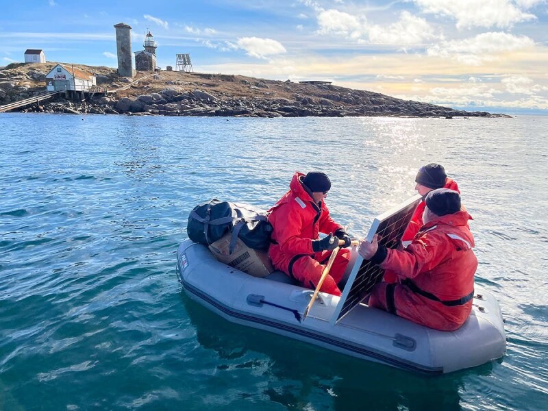
While Calouro acknowledges that what he is offering may be redundant, it is used more broadly than other forms of communication on the water, and he believes it could make a difference in terms of vessels receiving urgent information in a timely manner. “Right now, we have 60 StationKeeper units deployed on the East Coast, and through the help of the American Lighthouse Foundation, there are 15 in Maine alone, as far Downeast as Little River Light, in Cutler,” he says. “Some, like Matinicus and Mount Desert Rock, run on solar power, which is not the best, but we are working on that. Units are set up with Starlink or a cell signal so we can backhaul the information and get it to the cloud, where it is accessible to the people who need it in real time.”
MotionInfo can also use AIS information to place virtual buoys on electronic charts. “If there is an obstruction in the water like a cargo container, we can mark it,” says Calouro. “TimeZero supports our technology. So do most electronics manufacturers, such as Raytheon and Simrad. Garmin just upgraded its systems in April so that they can show our advisories on their screens.”