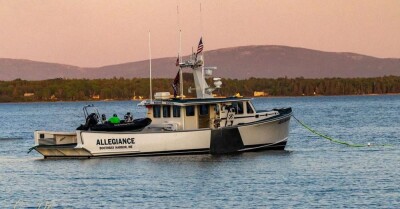
Commercial fishing fleets operating around the world are now doing so under the watchful gaze of environmentalists who are concerned with overfishing and other violations that have long been going on unnoticed far out to sea.
But a new real-time tracking system built by two organizations — Oceana and SkyTruth — in partnership with Google promises to quickly blow the whistle on vessels that move into areas where they’re not supposed to be.
As Emily Gertz explains on the environmental website TakePart, the new “big-data analysis tool” uses satellite data from an ocean vessel tracking technology called Automatic Identification System.
“Vessels using AIS carry radio frequency transmitters that broadcast the ship’s position, size, speed, and bearing several times a second,” she reports. “Nearby ships also using AIS receive those signals and use them to navigate safely among and around other vessels.”
The new partnership, called Global Fishing Watch, mines the data for information on fishing vessels and displays it in a fascinating satellite mapping system that allows the public to watch what individual fishing crews are up to.
Read the full story at CivilBeat>>
Want to read more about marine monuments? Click here...