

The cameras are rolling again on Georges Bank, where NOAA Fisheries scientists are collecting millions of images of the seafloor to help shape future management of the Atlantic sea scallop fishery.
The agency's annual Habitat Camera, or HabCam, survey completed its second leg in late May after spending nine days photographing the seafloor across Nantucket Lightship, the Great South Channel and Georges Bank, roughly 60 to 100 miles offshore. Unlike traditional research surveys that collect animals, HabCam relies on a towed camera system that documents scallops and other bottom-dwelling species without disturbing them.
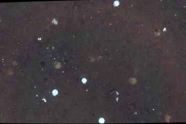
The survey is one of several data sources used to estimate scallop abundance and distribution, information that feeds directly into stock assessments and fishery management decisions. NOAA combines HabCam data with results from dredge surveys, autonomous underwater vehicle surveys and information collected from the commercial scallop fleet.
Atlantic sea scallops remain one of the Northeast's most valuable commercial fisheries. According to NOAA Fisheries, the fishery generated $360 million in commercial landings in 2023, ranking second only to the American lobster fishery in value.
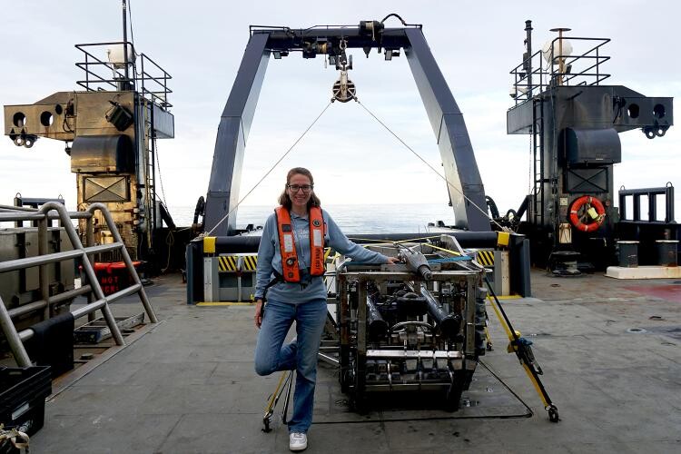
HabCam itself is a 3,000-pound dual camera and sensor system towed behind the research vessel Henry B. Bigelow. Operating around the clock, the system captures five to six pairs of high-resolution images every second while flying just above the seafloor.
Scientists aboard the vessel monitor the camera continuously, adjusting its height over the bottom to avoid obstacles such as boulders and sand waves while maintaining the best possible image quality. Other researchers examine incoming images, identifying and measuring scallops while recording other marine life and signs of human activity on the bottom.
Beyond scallops, the survey documented a wide range of commercially and ecologically important species, including monkfish, hake, skates, lobsters, crabs, squid and octopus, along with sea stars, sand dollars and other invertebrates.
During the second leg alone, researchers manually annotated roughly 84,000 images out of more than 4 million collected throughout the survey. Those hand-reviewed images are then used to train computer models that classify the remaining photographs, allowing scientists to process the enormous volume of data more efficiently.
For commercial fishermen, the annual HabCam survey provides another important piece of the scientific foundation used to determine future harvest levels and management measures for the Atlantic sea scallop fishery. Combined with fishery-dependent data and other research surveys, the imagery helps managers track changes in scallop abundance and distribution across one of the nation's most productive fishing grounds.