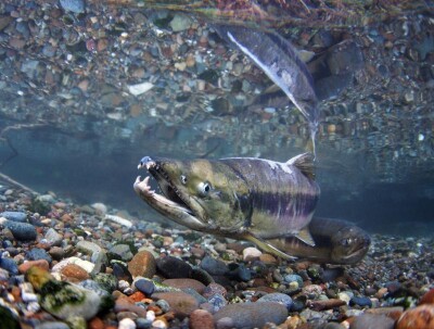
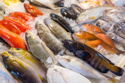
The federal Bureau of Ocean Energy Management is preparing its New York offshore wind energy lease sale, after removing almost 2,000 acres of fish habitat.
The Cholera Bank, an undersea elevation that attracts fish – and fishermen – southeast of New York Harbor was trimmed from a final lease map issued Thursday by BOEM. The agency will put the remaining 79,350 acres up for lease sale to wind energy developers Dec. 15.
Roughly shaped like an elongated triangle with its narrow end closest to New York City, the New York Wind Energy Area starts 11.5 nautical miles south of Jones Beach, N.Y., and extends 24 nautical miles southeast. It contains five full lease blocks on the outer continental shelf (OCS) and 143 sub-blocks.
By vessel, the apex of the triangle is about a 29.5 nautical mile steam from the terminals at Bayonne, N.J. On charts, the blocks are tucked between the Traffic Separation Scheme (TSS) shipping lanes in and out of New York Harbor.
Some adjustments have been made after input from the Coast Guard and maritime interests, but BOEM believes a 1 nautical mile buffer between the TSS lanes and the wind energy area is sufficient for navigation, according to a revised environmental impact statement.


