JUNEAU, Alaska – A provincial map showing the planned or potential mining activity in British Columbia is so pocked that Alaska Lt. Gov. Byron Mallott says it looks like it has the measles. It’s the cluster of dots in northwest British Columbia – including a prospect billed as one of the largest undeveloped gold projects in the world – that has many residents across the border in southeast Alaska on edge.
While it’s not clear how many of the projects ultimately may become mines – many are only in exploration – last year’s failure of a mine-waste storage facility in another part of British Columbia heightened fears about how development near Alaska’s shared border with the province could impact salmon-bearing rivers and streams that flow into southeast Alaska.
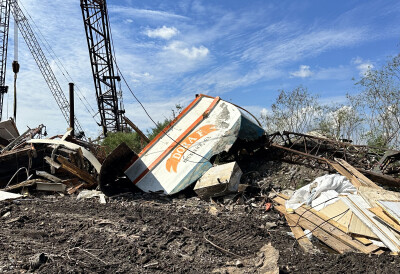
Currently seven major projects have potential trans-boundary implications. One is the Red Chris copper and gold mine, upstream from the Alaska towns of Wrangell and Petersburg, which received final permits in June. It’s owned by Imperial Metals, which also owns Mount Polley Mine, the site of last August’s tailings dam breach that sent water and mine-related materials into waters near the mine. Activists in Alaska said the incident showed that dams can fail.
Conservationists, Alaska Natives and fishermen are among those who want Alaska to have a greater say in Canadian permitting decisions for projects that could impact waters flowing into the state.
Read the full story at Durango Herald >>
Read more about Mount Polley >>


