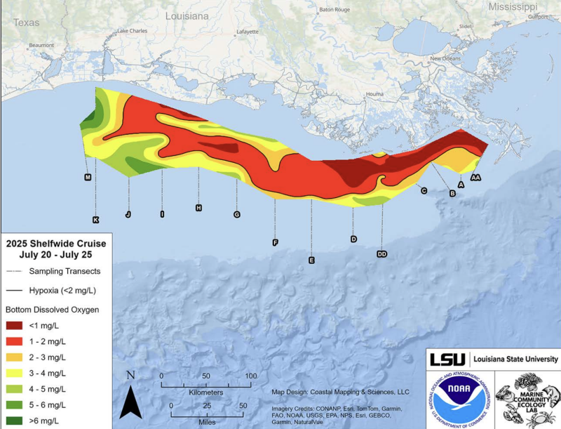
The summer seasonal “dead zone” in the Gulf of Mexico is forecasted to be larger than average over the last 39 years of monitoring, the National Oceanic and Atmospheric Administration reported.
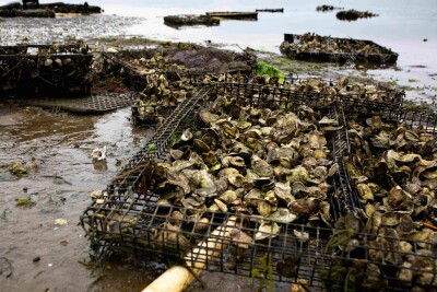
The dead zone is technically a hypoxic zone, where dissolved oxygen levels are too low to support marine life, causing die-offs of fish, shellfish, corals, and aquatic plants. The annual phenomenon is mainly caused by excess nutrient pollution from cities and farm areas throughout the Mississippi-Atchafalaya watershed.
This summer’s hypoxia will likely cover “approximately 7,027 square miles, an area slightly smaller than the size of New Jersey,” according to a NOAA statement. That would be below the record size of 8,776 square miles set in 2017 and larger than the 39-year average measured size of 5,223 square miles.
Nutrients from sources like farming and cities reach the Gulf via the Mississippi-Atchafalaya River Basin, and act as fertilizer stimulating overgrowths of algae. When algae die and decompose, they deplete oxygen in the water as they sink to the bottom. During active seasons the resulting dead zones reduce habitat for marine life and harm U.S. seafood and tourism industries.
The U.S. Geological Survey (USGS) measures Mississippi and Atchafalaya river discharge and nutrient loading data during the month of May, which are used as key factors in NOAA forecast models to estimate the dead zone.
“During May 2026, discharge in the Mississippi and Atchafalaya rivers was about 36% below the long-term average between 1980 and 2025, and the nitrate and phosphorus loads were about 4% above and 6% below the long-term averages, respectively,” according to NOAA.
The USGS effort covers about 2,972 real-time stream gages, 92 real-time nitrate sensors and 37 long-term monitoring sites in rivers throughout the Mississippi-Atchafalaya watershed. The program is used to track long-term changes in nutrient inputs to the Gulf and to build models of nutrient sources and hotspots within the watershed.
Now in its ninth year, the annual forecast is a key metric to help to improve understanding of how hypoxia in the Gulf is linked to nutrients coming from throughout the Mississippi-Atchafalaya watershed.
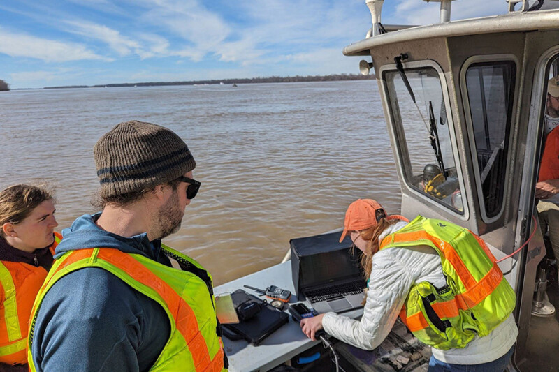
To confirm the size of the hypoxic zone and refine the forecast models, a NOAA-supported monitoring survey is conducted each summer. Next results should be released in early August.