NOAA Fisheries scientists have completed a multi-year satellite tagging study of Pacific cod in the Bering Sea, shedding new light on how the species responds to warming ocean conditions and what those movements mean for fisheries management.
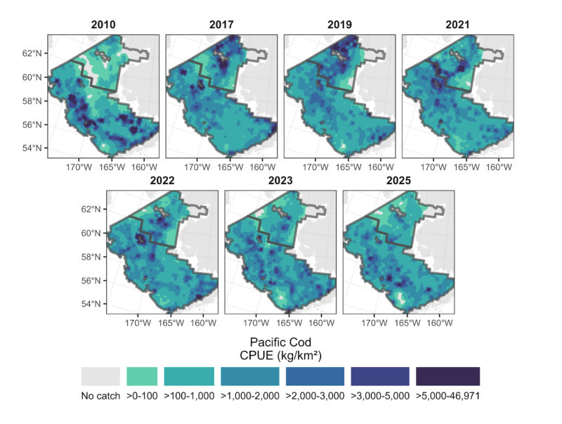
The study, launched in 2019 and led by Dr. Susanne McDermott of the Alaska Fisheries Science Center, was prompted by a dramatic northward shift in Pacific cod distribution that began in 2017, when the Bering Sea entered a period of unprecedented warming and sharply reduced sea ice. Pacific cod support Alaska's second largest groundfish fishery and play a central role in the broader Bering Sea ecosystem.
"There was tremendous anxiety over what's going on," said McDermott. "Why are these fish in different places? Is this something that's changing on a population level? Is this just the same population moving into different areas?"
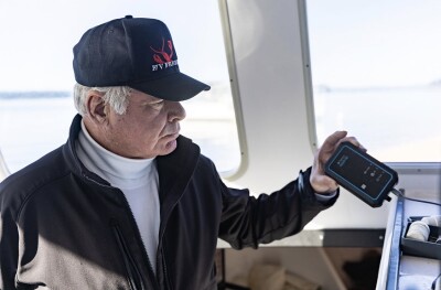
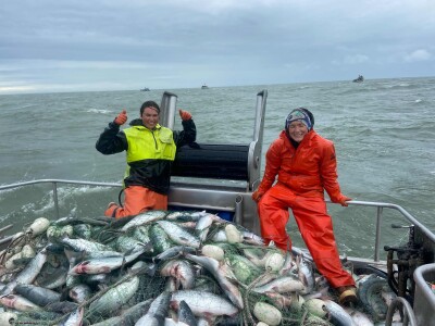
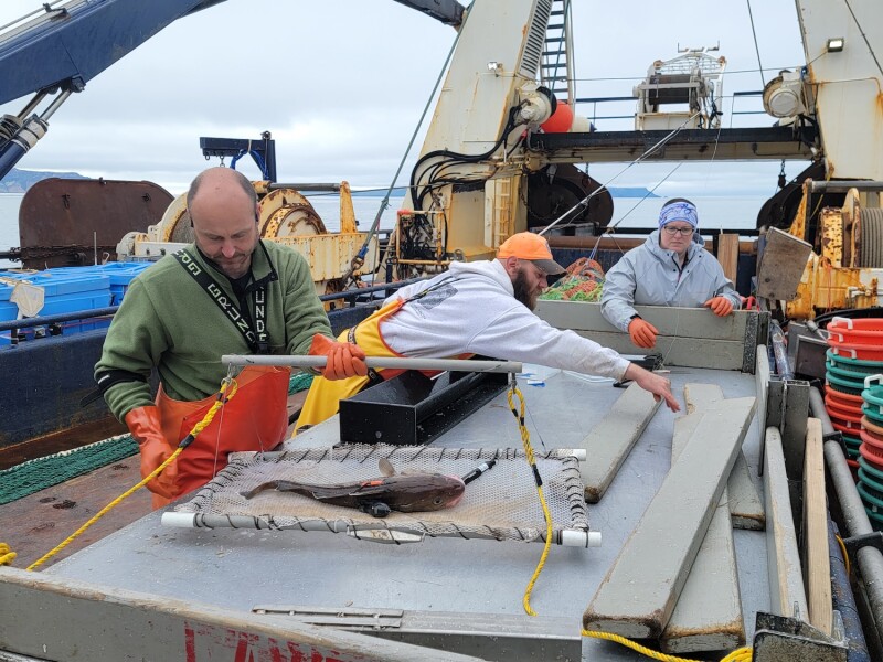
To find answers, the research team — which also included fisheries biologists Julie Nielsen and Kimberly Rand — deployed pop-up satellite archival tags on cod in both summer and winter. The tags recorded depth, water temperature, light levels, and acceleration at intervals as short as one second, and transmitted that data to the Argos satellite network after detaching from the fish and surfacing. Tags that were physically recovered — returned by fishermen or beachcombers — yielded the full, unabridged dataset.
"When you get the tag back," said Nielsen, the team's tagging and modeling specialist, "you get data every second if it's programmed for 90 days, every three seconds if it is out for 6 months or less, or every 5 seconds if it's out for a year or longer."
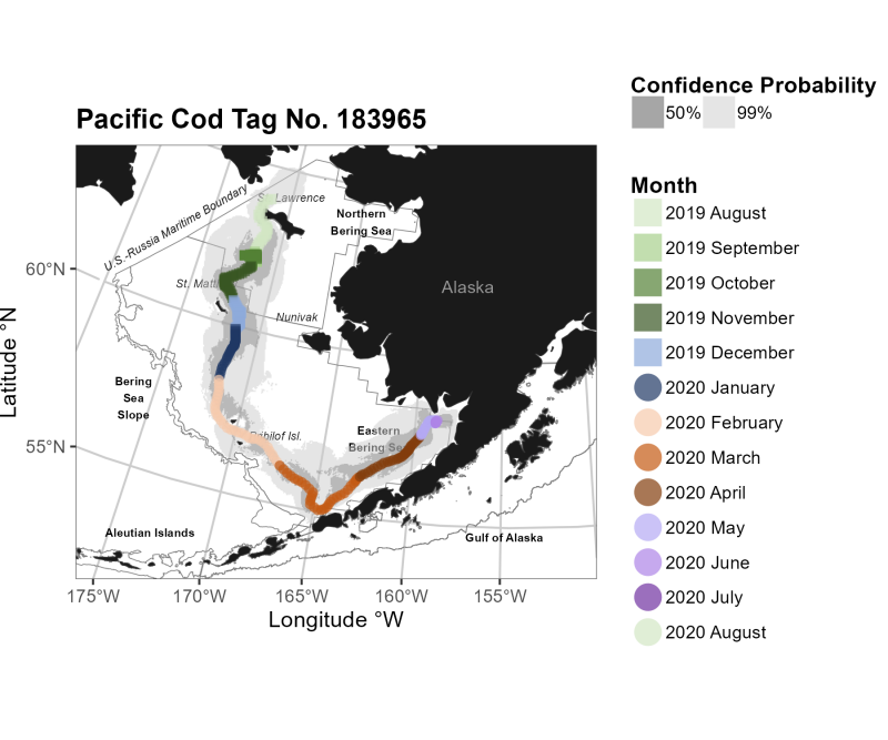
Using light-based geolocation models, Nielsen reconstructed individual movement paths and identified behavioral patterns across four seasonal phases: foraging from August through November, a transition period in December and January, spawning from February through April, and a return migration from May through July.
The results revealed that cod tagged in the northern Bering Sea during summer departed ahead of advancing sea ice in November, with many traveling to traditional spawning grounds in the eastern Bering Sea. However, a portion of fish moved into Russian waters or the Gulf of Alaska during winter — a finding that points to broader seasonal connectivity across international boundaries and fisheries management zones than previously understood.
One tracked cod, tagged near St. Lawrence Island in August 2019, traveled more than 2,000 kilometers before its tag released the following June — moving south through the eastern Bering Sea, reaching the Unimak region by March, and then turning east into Bristol Bay.
The management implications are significant. Quota allocations are tied to specific management areas, and fish that cross those lines can effectively move out of reach of fleets licensed to harvest them. "When fish move across management boundaries, it really affects our management of that species because fishermen usually get assigned a certain quota in a certain management area," McDermott explained. "So, if fish move from one management area to another, they may not be able to catch them anymore. That has a huge impact on the commercial fleet."
Rand, who handled data processing and manuscript preparation for the project, noted that the tags also collected genetic samples and otoliths for age analysis. "It's really exciting when we dive into the data to find new and exciting patterns — things we haven't seen before," she said. "We also collect genetics and otoliths for ages. It's part of this comprehensive ecological picture."
The research team is now working alongside stock assessors to incorporate the tagging data into stock and ecosystem assessments conducted under the Magnuson-Stevens Act, and to develop multi-area stock assessment models that account for cod movement between management zones. The team also strategizes with assessors on where to deploy future tags to close remaining knowledge gaps.
"We've all worked together for a long time," said Rand, "and really care about the fishery."