Sea surface temperatures along the Northeast U.S. Atlantic coast have risen faster than 99 percent of the world’s oceans since 2004, and the accompanying change in sea level rise is putting the region at increasing risk from tidal flooding and storms, according to a new report from climate researchers.
Released on the seventh anniversary of Hurricane Sandy’s Oct. 29, 2012 landfall, the report “New Jersey’s Rising Coastal Risk” by the Rhodium Group’s energy and climate team, with contributions from scientists at Rutgers University, the University of California at Berkeley and the University of Chicago.
Sandy hit land as an post-tropical system after shedding some hurricane characteristics — its sustained windspeed at landfall did not even qualify as Category 1 on the Saffir-Simpson scale of hurricane intensity — but it delivered a storm surge not seen since the great hurricane of 1821.
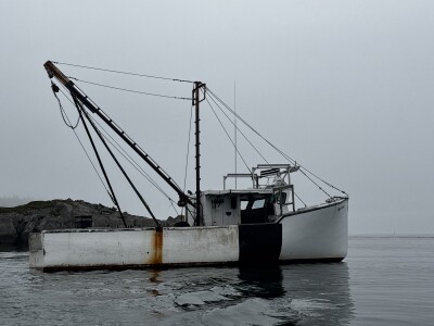
That surge, later estimated at 14.4 feet at Sandy Hook, N.J., inundated neighborhoods all around the New York Harbor complex, including the commercial fishing port of Belford, N.J. The port’s fleet survived the storm, but its infrastructure was heavily damaged, losing electrical and refrigeration equipment, and the Belford Seafood Cooperative’s restaurant.
https://twitter.com/GarySzatkowski/status/1189325883691163649
“The port’s facilities experienced over $1 million in damage. Fishery waters also did not escape unscathed, as the storm stirred up the ocean and confused the more lucrative fish, prompting them to leave to calmer waters,” according to a 2012 report by Rutgers researchers, who interviewed fishermen in the storm’s aftermath. Shellfish beds in Raritan and Sandy Hook bays were closed for weeks because wastewater treatment plants and pump stations discharged contaminated wastewater after the storm, leading the federal Department of Commerce to declare a fishery emergency.
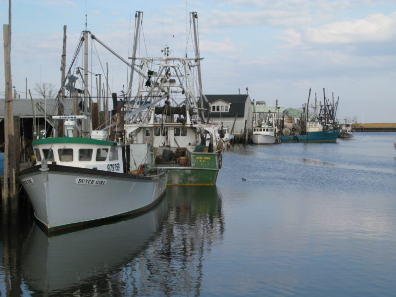
The new coastal risk study warns New Jersey’s exposure to such events is on the rise. Most at risk for damage and economic loss could be Cape May County, home to the East Coast’s second most valuable fishing port after New Bedford. With a scallop fleet that brings in most of its annual $85 million catch, the combined port of Cape May City and Wildwood rank ninth among all U.S. ports, according to NOAA statistics.
Sea levels are rising twice as fast in New Jersey as the global average, in part because its coastal land mass is subsiding.
“Sea level in Atlantic City, for instance, has risen 15.8 inches since 1900, and nearly 6 inches since 1980,” according to the report. “In absolute terms, the most exposed county by far is Cape May, with an additional 26,000 to 34,000 current buildings likely in the 1-in-30-year floodplain due to changes in sea level and expected hurricane activity.”
Cape May, Belford and the state’s other ports will get more of both nuisance flooding during high tides and increasing risk of damage during storms, because flooding risk has already more than doubled, according to the researchers.
“The nearly six inches of sea-level rise since 1980 has increased the number of current New Jersey homes at risk of frequent flooding by about 110 percent,” the team wrote. “There are 23,000 more homes and other buildings worth a combined $13 billion at risk of frequent flooding today than if sea levels had remained at 1980s levels. There are 27,000 more buildings worth a combined $15 billion that are now likely to flood at least once a year.”
By 2050, average annual hurricane and flood damage in the state “will likely grow by $1.3 billion to $3.1 billion,” the report says, based on a 2016 science and technical assessment panel of New Jersey based- experts.
“These projections are not foregone conclusions. Future reductions in global emissions would substantially reduce these hazards in the second half of the century, but that alone will not be enough,” the team concluded. “Vulnerable communities can better prepare for floods and storm damage by linking planning, mitigation, and adaptation. Zoning can guide development away from at-risk areas. Existing structures can be protected through retrofitting.”
For commercial fishing ports, that means preparing for the future by elevating electrical and other critical equipment. In buildings where it’s not possible to raise foundations, “wet floodproofing” uses retrofitting techniques to protect critical structure and systems from water damage.