
By Wednesday morning, Hurricane Lee was clearly on track for closer to the coast of Maine. Lee is expected to pass close to or into the state over the weekend with strong winds and periods of heavy rain. Dangerous surf and life-threatening rip currents will continue to affect portions of the northern Leeward Islands, the Virgin Islands, Puerto Rico, the Bahamas, Bermuda, and across the entire U.S. East Coast, according to the National Hurricane Center.
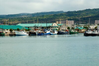
There is no doubt that this storm is top of mind for fishermen in the New England area. They are pressed to be moving gear and protecting as much of their investments as possible before the storm reaches the North Atlantic.
Beginning on Friday and continuing through the weekend, coastal flooding and increasing winds from Lee will hit New England and Atlantic Canada. Due to the size of this hurricane, hazards will extend a significant distance from the center of the storm.
Hurricane Lee remains as a Category 3 storm with winds at 115 miles per hour as of 5 a.m. on Wednesday. The storm isn’t expected to gain additional strength and due to other weather fronts, it will gradually weaken to a Category 1 as it approaches the New England coast. According to News Center Maine and the National Hurricane Center, the storm has shifted its track a little west closer to Maine which will bring more of an impact to the Downeast coastline and the rest of the state. The National Hurricane Center shares that there will be little to no significance on exactly where the center reaches the coast.
As the storm moves through the Gulf of Maine, the cold water will weaken it to a nor’easter type storm by the time it makes landfall. News Center Maine also states, “Utter destruction will NOT occur, so the worst-case scenario is OFF the table. With all that said, a closer track means we will have issues from inland flooding, power outages, and beach erosion. The magnitude of these impacts is what we will be zeroing in on over the next few days.”
The wave heights may be quite significant along Maine’s coast and maybe 20 feet or higher. Meteorologists from News Center Maine and the National Hurricane Center advise those in the area to keep checking back for the latest updates as small shifts in the storm may result in big impact changes.
Jacob Knowles, a fifth-generation Maine lobsterman of the F/V Rest Ash-Oar, shares a video to Tik Tok early Wednesday of a significant number of birds migrating off from Maine’s coast, possibly in fear of the storm and the pressure changes that Hurricane Lee is pushing up this way.
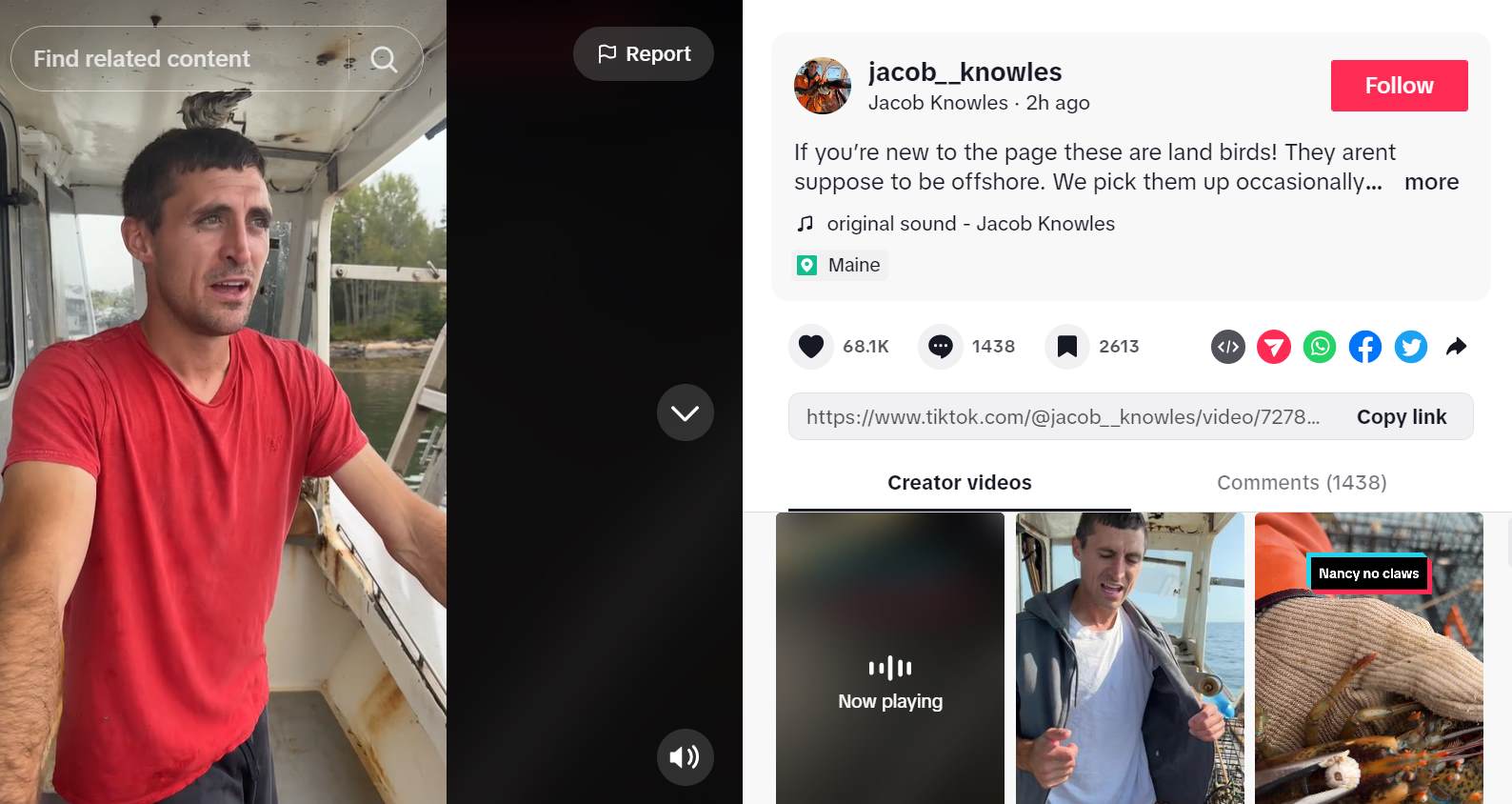
Knowles added in videos shared by friends who fish along the coast of Maine and into Canada are seeing thousands of birds flying above their boats in the early morning. “I wasn’t too scared of this storm up until today when I saw the videos of everyone saying that they’ve never seen this before,” Knowles says.
“We will keep our fingers crossed for Saturday that this storm turns and goes offshore. Again, I wasn’t worried about this storm until I saw all these birds. Something definitely seems off.”
Follow Jacob Knowles on Instagram or TikTok for more reels on commercial Maine lobstering.