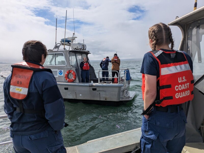
A joint operation between NOAA ship Fairweather and U.S. Coast Guard cutter Cypress has restored navigation in Bechevin Bay, Alaska — a shallow, tide-driven waterway that serves as a key shortcut between the Bering Sea and the Gulf of Alaska — just ahead of the June 1 opening of the Bristol Bay sockeye salmon season.
The mission was driven by an unusually severe winter. The Bering Sea's ice extent reached near-record levels in late March, pushing as far south as False Pass and filling Bechevin Bay entirely. The ice wiped out nearly all of the channel's navigation aids. By May, the Coast Guard reported 28 of the 29 buoys marking the bay were missing, along with dangerous submerged obstructions left behind in the shallow waterway.
NOAA's Office of Coast Survey redirected the Fairweather from scheduled missions to assist Cypress in reopening the channel. The Fairweather's hydrographic survey launch crews located a navigable path, searched for sunken buoys, and identified other hazards, delivering custom charting products — including high-resolution bathymetric images — in near real-time. Within hours of receiving that survey data, the Cypress crew set 14 new buoys. Work to reestablish the remaining northern half of the channel is expected to continue over the coming weeks.
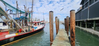
The stakes for commercial fishing fleets are significant. Located just east of Unimak Island, Bechevin Bay is the easternmost passage between the two bodies of water. Vessels transiting from Kodiak to Bristol Bay via Isanotski Strait — also known as False Pass — and north through Bechevin Bay can save up to 160 nautical miles and 20 hours of sailing time compared to the offshore route, while staying in more protected waters.
The passage demands careful seamanship. Mariners must time their transits around strong tidal currents, and the channel itself is narrow and winding. A navigational error can put a vessel in less than 14 feet of water, with grounding a real risk.
The Fairweather began its 2026 season surveying approaches to Ketchikan in Southeast Alaska and is slated to continue operations around St. Matthew Island and in Arctic waters through the summer. The vessel's primary mission supports NOAA's Office of Coast Survey in producing the nation's nautical charts and reopening ports and waterways following disasters.